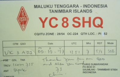
The Tanimbar Islands, also called Timur Laut, are a group of about 65 islands in the Maluku province of Indonesia, including Fordata, Larat, Maru, Molu, Nuswotar, Selaru, Selu, Seira, Wotap, Wuliaru and Yamdena. The Indonesian phrase timur laut means "east of the sea" or "northeast". Geographically, the northeast islands are still part of the Lesser Sunda Islands. The Aru Islands and Kai Islands lie to the northeast, and Babar Island and Timor lie to the west. The islands separate the Banda Sea and the Arafura Sea. The total land area of the Islands is 5440 km² (2100 sq mi).
 Contact