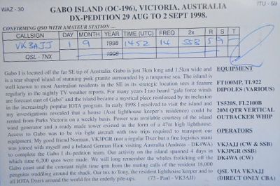
Gabo Island is a 154-hectare (380-acre) island located off the coast of eastern Victoria, Australia, between Mallacoota and Cape Howe on the border with New South Wales. It is separated from the mainland by a 500-metre (1,600 ft) wide channel. Gabo Island is a shipping reference commonly referred to in Victorian weather warnings issued by the Australian Bureau of Meteorology. Gabo Island is well known for its historic lighthouse. This lighthouse, Australia's second tallest, was completed in 1862 and made from pink granite quarried from the island itself.
 Contact