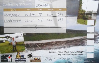
Niuatoputapu is a high island in the island nation of Tonga, Pacific Ocean, its highest point being at 157 m. Its name means sacred island. Older European names for the island are Traitors island or Keppel island. Niuatoputapu is located in the north of the country, 300 kilometres (190 miles) away from Vavaʻu near the border with Samoa. Its closest neighbours are the small island of Tafahi, only 9 km (5.6 mi) to the north-northeast, and the island of Niuafo'ou.
 Contact